So now planning is under way you soon discover just how much there is to Canada and just how big it is.
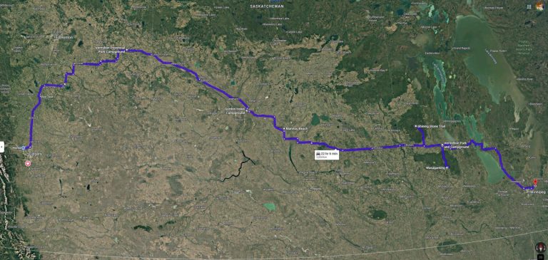
The map we are using to just get a basic route outline is great but too often you look and go “Oh this is not far from that” only to realize that each finger width on the map is over 120km.
To make things easier we have started to make up sections of route based on where we are going to cross each provincial border. So for example by picking Lloydminster, AB and Walsh, AB as the crossing points both north and south then our route too and from home becomes much easier to plan.
We also don’t want to spend too much time in places we have visited before and make our way to new locations quickly. So that means not spending much time in Alberta but getting into Saskatchewan pronto.
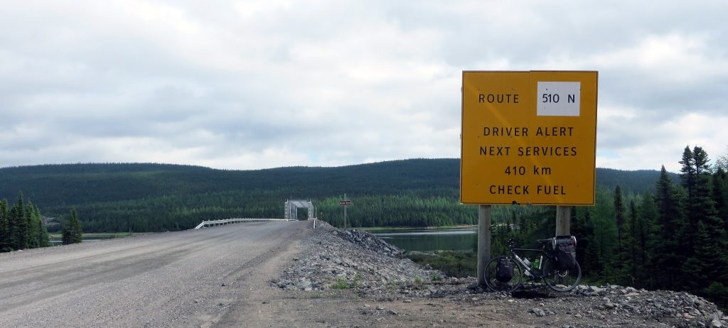
We are considering doing the Trans-Labrador Highway (Trans-Labrador Highway – Wikipedia) which will take use at least 3 days to cross although since they have now completed asphalting the road it is not quite the adventure it used to be, but again towing a 23′ travel trailer its nice to have a good surface to run on.